Flood Watches Posted For Saturday
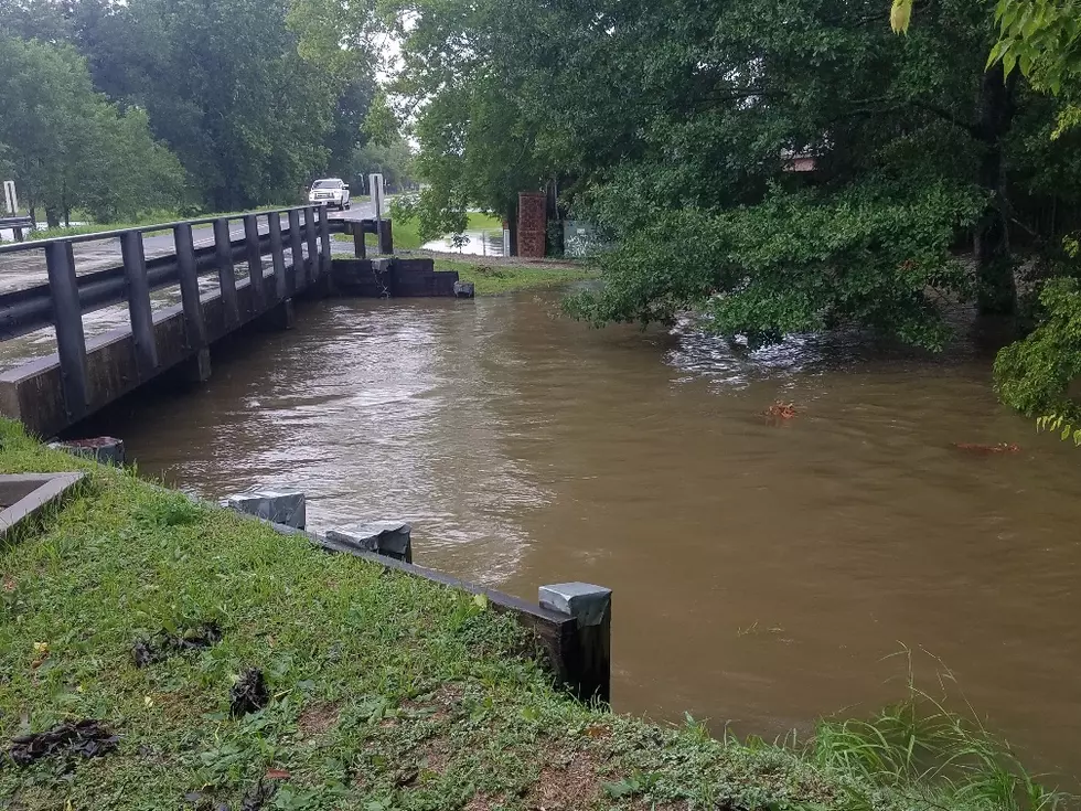
The National Weather Service in Lake Charles has issued a Flash Flood Watch for most of South Louisiana beginning early Saturday morning. The potential for heavy downpours associated with a storm system expected to move across the area during the day Saturday and Saturday night could create a potential for flooding of low lying areas.
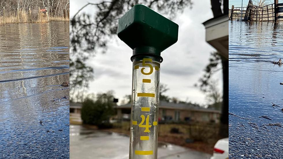
The weather service is suggesting that most areas in South Louisiana will receive anywhere from 2-3 inches of rain. However, local amounts of six inches will be possible in some of the heavier showers or thunderstorms that move across the area over the next 24- 48 hours.
It is possible that some creeks, rivers, streams, and coulees that are still discharging the runoff from last weekend's heavy downpours could rise quickly and threaten life and property along their banks.
The Storm Prediction Center has forecast a very small potential for severe weather to develop across the area over the weekend. Their forecast suggest the biggest threat for the area will come in the form of heavy rain and flash flooding.
More From News Talk 96.5 KPEL