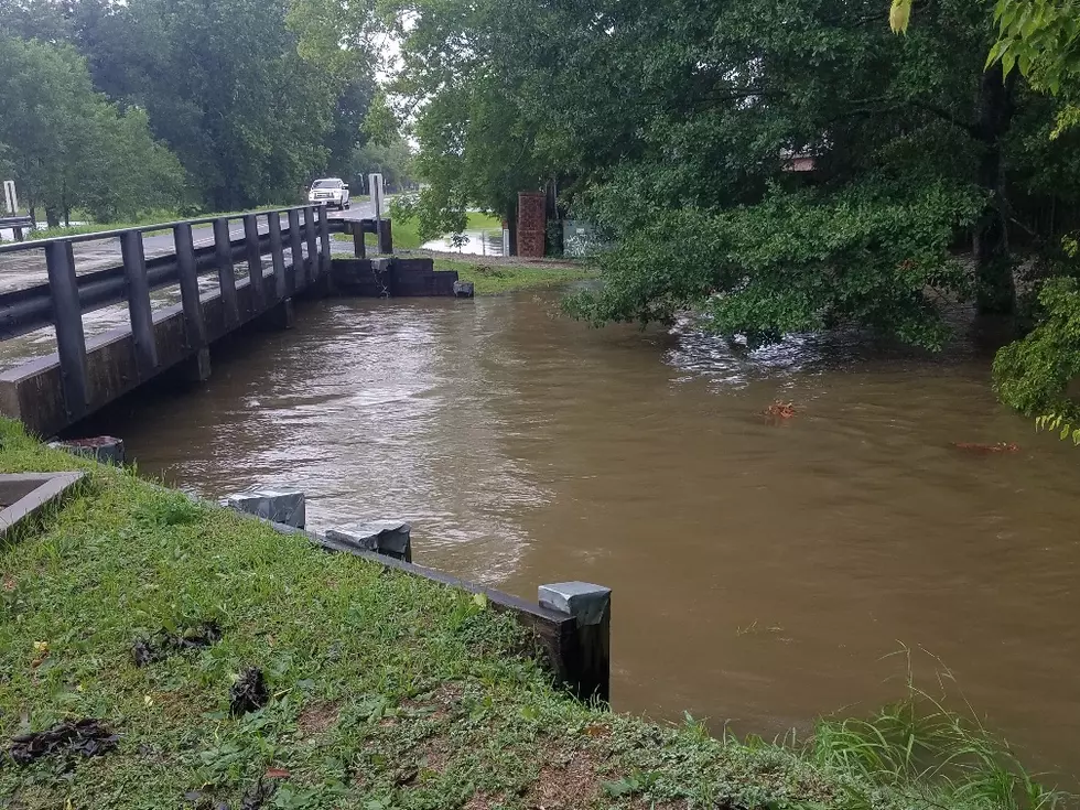
Heavy Rains Moving Out Of South Louisiana
You can't say the weather man missed the forecast this weekend. The prediction of heavy rain was right on target from Lake Charles to Crowley to Lafayette. The threat of the heaviest showers are now moving off to the east of those areas and cities like Baton Rouge and New Orleans will get their turn to soak for the remainder of the day.
That doesn't mean we are totally out of the wet weather pattern for your Monday though. The National Weather Service radar loop from Lake Charles still shows a rotating area of showers and thunderstorms between Lafayette and the Texas line that will have to push off to the east during the course of the morning.
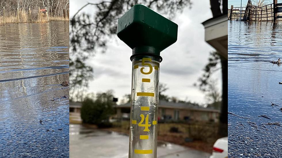
This area of rain could add an additional 1-2 inches of precipitation to the area. Many locales reported rainfall totals in the 3-4 inch rain while some other areas reported locally heavier amounts.
As the low pressure system that is the reason for all this rain slowly pushes off to the east expect the rain to end but the breeze to pick up. Winds will be a bit gust this afternoon from northeast at 15-25 mph. Gusts as high as 35 mph are possible during the day today so keep that in mind if you drive a high profile vehicle especially on the east/west roadways.
More From News Talk 96.5 KPEL