Storms Likely As New Work Week Begins
For most of us in Louisiana it has been a glorious February weekend. We've had a mix of clouds and sun and temperatures that were certainly conducive for outside activities. That is about to change as we transition from the weekend into the work week.
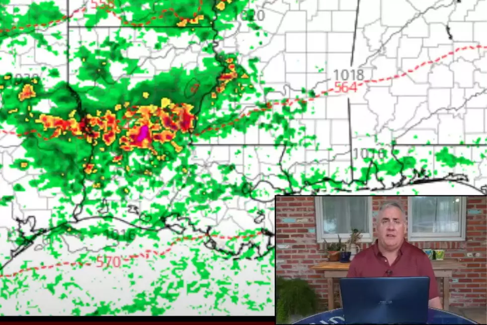
A low pressure system centered just west of the Dallas/Ft. Worth metroplex and associated cold front are slowly moving to the southeast. This system is expected to start interacting with warm moist conditions across Louisiana by as early as this evening.
Rain chances across the state will increase during the day Monday. There is a risk of thunderstorms but the Storm Prediction Center is not calling for any severe weather threat in the state until Tuesday. That is when another low pressure system is expected to develop along the frontal system which should be stalled along the Gulf coast.
Rain chances across the state will be elevated for both Monday and Tuesday. By Wednesday forecasters believe the frontal system and low pressure system will have moved off to the north east. This should allow sunny skies and slightly cooler temperatures to return to much of the state for the latter part of the work week and into next weekend.
More From News Talk 96.5 KPEL