Tropics Heating Up With 3 Hurricanes And Tropical Wave
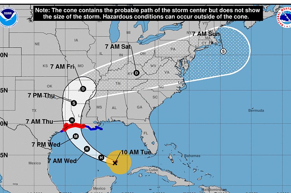
The unofficial official peak of the Hurricane Season is today, September 10th. After looking at the National Hurricane Center's map of tropical cyclones and disturbances you'd have no trouble agreeing with that statement. There are currently three active hurricanes in the Atlantic Basin and more importantly for residents of the Gulf Coast a potential development moving into the Gulf of Mexico.
Currently, a tropical wave is centered west of Jamaica in the Caribbean Sea. This area of disturbed weather is forecast to move into the southwestern Gulf of Mexico by the end of the week. The National Hurricane Center has given this area of concern a 30% probability of strengthening into a tropical cyclone by Friday.
The most pressing weather issue from the tropics is Hurricane Florence. Tropical forecast models bring that system onshore in the United States sometime later this week. Some models suggest a North Carolina landfall others have the system arriving on shore a little further to the north. Regardless, Florence is forecast to become a major hurricane and should it cross the coast as a major hurricane damage will be widespread.
Hurricane Isaac is about 1300 miles east of the Windward Islands and is moving slowly to the west. It could impact those islands with hurricane force winds by as early as Thursday. Isaac is expected to stay on a westward track that would bring it into the Caribbean Sea.
Hurricane Helen is just west of the Cabo Verde Islands in the far eastern Atlantic. It is expected to make a north turn and stay out to sea over the next five days.


