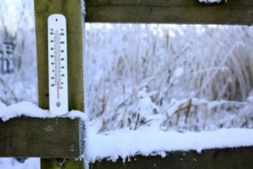
Winter Storm Watch Continues For North Louisiana
NEW ORLEANS (AP) — A winter storm watch remains in effect for all of north La. through Wednesday afternoon.
The National Weather Service says a mixture of sleet and snow will move into the area Tuesday night.
On Wednesday, much of the precipitation will change over to mostly snow.
Along the Interstate 20 corridor, forecaster say snow accumulations of 1 to 2 inches are possible before the precipitation moves east out of the area.
Driving in north La. remains hazardous Tuesday morning.
La. State Police Sgt. Barry Spinny in Bossier City says ice remains on the bridges and overpasses. He says the ice should melt Tuesday as the temperature moves above freezing, but it could reform Tuesday night into Wednesday morning as the snow moves over the area.
Copyright 2015 The Associated Press. All rights reserved. This material may not be published, broadcast, rewritten or redistributed.
More From News Talk 96.5 KPEL