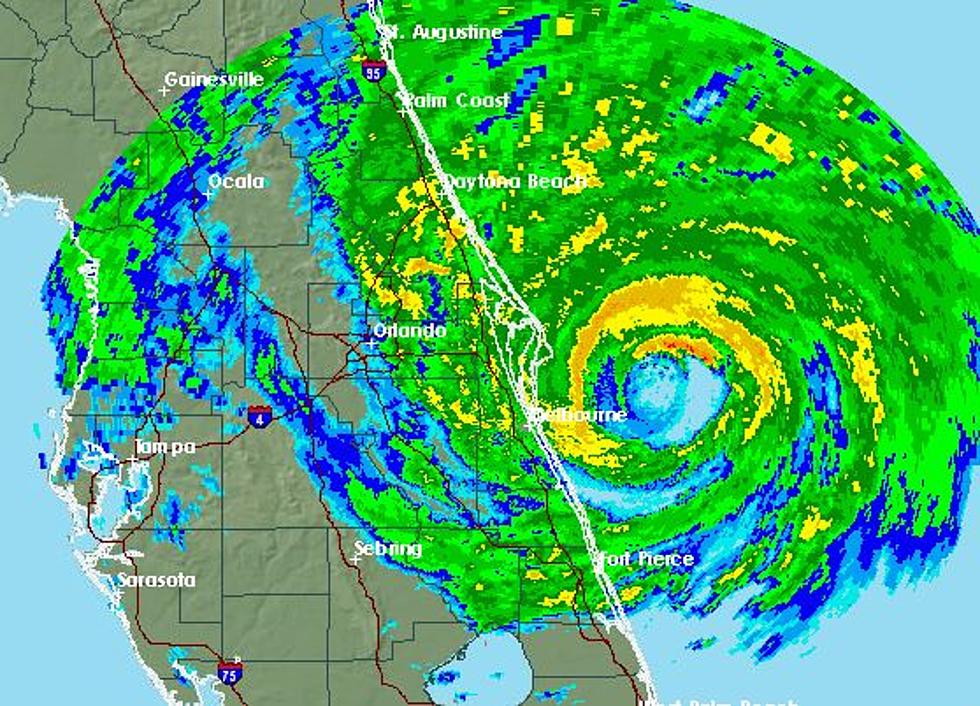
Category 4 Hurricane Matthew – The Latest
Major Hurricane Matthew is still days away from any interaction with the United States coast. In fact, forecasters are not even convinced the storm will even affect our coastline directly. The memories of Super Storm Sandy still have people along the coast of Florida, The Carolinas, and New England watching the system with a more than cautious eye.
Satellite imagery shows a very well developed system moving through the warm waters of the Caribbean this morning. Hurricane Hunter aircraft and satellite observations have estimated the current maximum sustained winds with this system to be 155 mph. According the the Saffir-Simpson scale this makes Matthew a very dangerous category 4 hurricane. Hurricane force winds extend approximately 45 miles from the center of the storm.
In the near term the forecast from the National Hurricane Center still maintains the system will slowly jog from its westward motion and make an abrupt turn to the north. This turn to the north is mainly because of a trough of low pressure in the Midwestern United States. This trough is responsible for the nice weekend of weather that we are currently enjoying.
The reliable tropical tracking models are in fairly good agreement over the next two to three days. The center of the storm should pass between the western tip of Hispaniola and the eastern tip of Jamaica. The storm's first encounter with land should be as it crosses the coast of Cuba on Tuesday.
It is expected Matthew will begin to weaken by the time it makes its brief landfall in Cuba. This will still put a strong hurricane moving northward through the Islands of the Bahamas by mid week. If the track models are correct the storm should stay just off the east coast of the United States before it begins to drift even further to the east by late next week.
More From News Talk 96.5 KPEL


![Louisiana Doctor And Organization Helping Haiti After Hurricane Matthew [PHOTOS]](http://townsquare.media/site/33/files/2016/10/nicole.jpg?w=980&q=75)


