Weather Service Issues Rare Severe Forecast for Louisiana
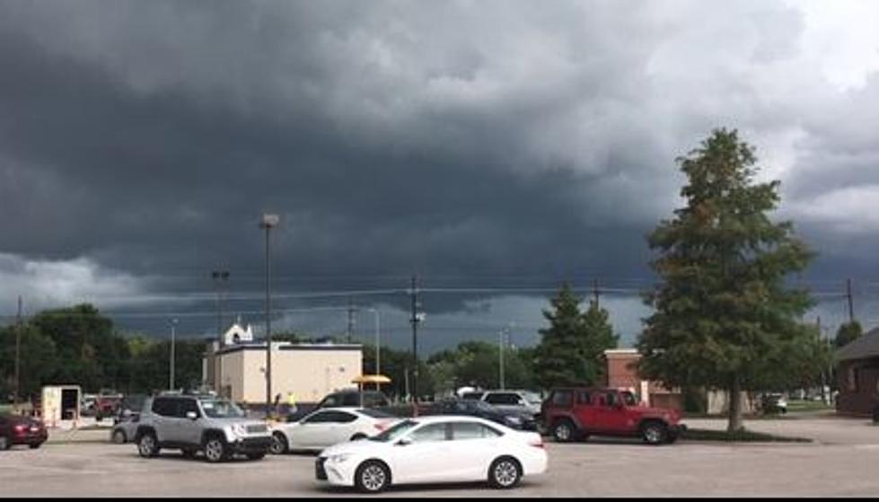
On Wednesday a line of showers and moderate rain moved from Lake Charles, Louisiana through Lafayette, Baton Rouge, and New Orleans in just a few short hours. Fortunately for residents who live near those cities, yesterday's weather event was not severe.
But based on information from the Storm Prediction Center, which is the arm of the National Weather Service that focuses specifically on severe weather events, Louisiana could be under the gun for strong to severe storms by early next week. What makes this forecast so unique is that it's very rare for the Storm Prediction Center to make a severe weather forecast five and six days out.
Based on data the average accuracy rate for a 24-hour weather forecast is about 95%. That accuracy drops off considerably over time. That same forecast made three days out has an 86% accuracy score and if the forecast is extended for five days the weatherman is "right" 75% of the time.
This is such a rare thing for the SPC, that it even got Jim Cantore's attention.
So, for the Storm Prediction Center to make a severe forecast six days out suggests the models are honing in on a storm system that will be packing a punch. As you can see from the graphic provided by the SPC much of the northern Gulf Coast will be under a slight risk for severe storms during the day on Monday.
Meanwhile, Louisiana and the northern Gulf Coast will have to deal with another storm system on Friday before the Monday storm system moves into the area. The system that will affect the area on Friday has already been touted as a heavy rainmaker. This graphic from the National Weather Service Forecast Office in Lake Charles shows in great detail where the heaviest rain is expected.
The official National Weather Service Outlook for South Louisiana on Friday calls for a 100% probability of rain. Rainfall totals during the day on Friday are expected to exceed one inch but not be much more than two inches. Of course, specific locations could get higher amounts under heavier downpours.
The good news with Friday's storm system is that it should pass rather quickly and by Friday night conditions should improve and the weekend should include a mix of clouds and sun with seasonable temperatures.
Of course, all that comes crashing down on Monday with the severe weather threat we mentioned earlier. Following Monday's storms, it will get colder. The outlook for early next week suggests low temperatures in the 30s on Tuesday and Wednesday but as of now the mercury is still expected to stay above freezing.
10 Snowiest Cities in Louisiana
Gallery Credit: Jude Walker
More From News Talk 96.5 KPEL