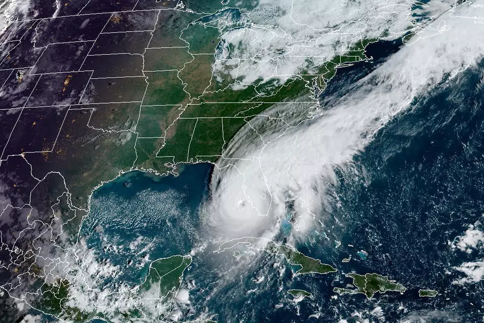
Keep An Eye On This Potential System In The Gulf Of Mexico
Meteorologist Scot Pilie' of WGNO posted to Facebook today with concerns over potential storm developments in the Gulf of Mexico. Pilie says that the system is something to pay attention to as it could begin to bring rain our way as early as Wednesday.
You can check out Pilie's post below and find him @ScotPilieWX
While Mr. Pilie says that while we should continue to watch the system as it develops, although most models are only showing weak development into a tropical storm.
Pilie also says that the key to this system is that of the timing a cold front that is approaching as well as the strength of the system itself. If the system begins to organize a little more, it would favor a northeast track and put the storm east of our area. If the system is a bit weaker, it could linger off west and put the storm more in the Central Gulf Coast area according to Pilie.
The main point from the New Orleans Meteorologist is that we should keep an eye on the storm, which would be named Zeta if it does indeed develop, over the coming days. It is still too early to predict where exactly this storm will make landfall.
Pilie finishes his Facebook post saying, "If we see Zeta develop, the 2020 season would tie 2005 with the most named storms in a single hurricane season on record".
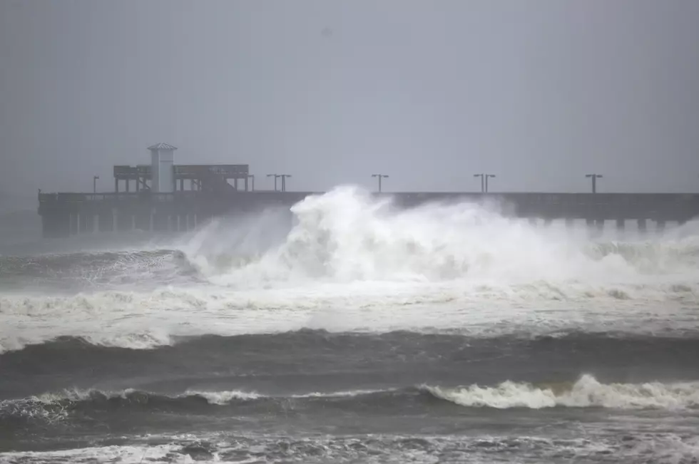
Louisiana sure has already had a healthy dose of weather this hurricane season, a break would be really nice for everyone along the Gulf Coast right about now.
”&CHAR(34)&(R[0
20 Items You Need to Have in Your ‘Hurricane Box’ This Year
More From News Talk 96.5 KPEL