Rain Likely For The Weekend But Not A Total Washout
I was looking through the events section here on the radio station website and you can tell with one click that this is not the weekend we really wanted to see a lot of rain in Acadiana. Unfortunately, many events might be looking at some delays or interruptions in their schedule because of a substantial threat of showers and thunderstorms.
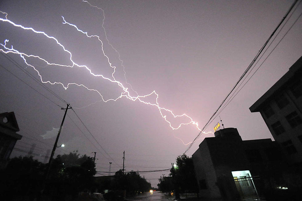
While the threat of showers and thunderstorms across the region might be higher than our normal pop up shower chances you shouldn't view the weekend as a total washout. There could be a shower or thunderstorm before your high school football game tonight. But it shouldn't be raining throughout the game.
Tailgate revelers at Cajun Field and Tiger Stadium might get wet before the game but the threat of rain during the U.L. or LSU games should decrease as the evening wears on.
Forecasters believe that showers and thunderstorms will be more numerous in the afternoon and early evening hours for the next several days. Rain chances will range from 40% to as high as 60% depending on where in Acadiana you happen to live.
Meanwhile, the tropical Atlantic is once again active with several hot spots being monitored for further development. The National Hurricane Center is currently monitoring four tropical waves in the Atlantic Basin. Two of those waves have a medium to high chance of developing further. The other two waves are not showing signs of strengthening or they are in an area where conditions are unfavorable for further development.
More From News Talk 96.5 KPEL