Severe Weather Threat Possible for Acadiana Tuesday
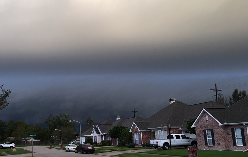
The relatively calm weather residents of South Louisiana experienced over the weekend will change rapidly over the next 24 to 48 hours. A slow-moving storm system is expected to enhance rain chances across the region during the day on Tuesday and on Wednesday and that could lead to a severe weather threat for the area on both days.
The Storm Prediction Center has placed much of South Louisiana in the marginal risk zone for severe weather during the day on Tuesday. That threat could become even greater with storms that are forecast for the area on Wednesday.
Forecasters say a frontal system is expected to stall to the north and west of Acadiana during the day today. Low-pressure centers along that frontal boundary are expected to keep conditions breezy across South Louisiana during the day to today. Those southerly winds will push moisture from the Gulf of Mexico across the state and that could lead to some significant downpours late Tuesday or early Wednesday.
Some of the rainfall forecast models suggest that portions of Acadiana could see anywhere from two to three inches of rainfall between now and late Wednesday. The bulk of that rain is expected to fall during storms that affect the area beginning late Tuesday evening and during the day on Wednesday.
Once the storm system moves out of the area early Thursday much calmer and nicer conditions should move into the area through the weekend.
More From News Talk 96.5 KPEL