
Severe Weather Threat Significant This Weekend
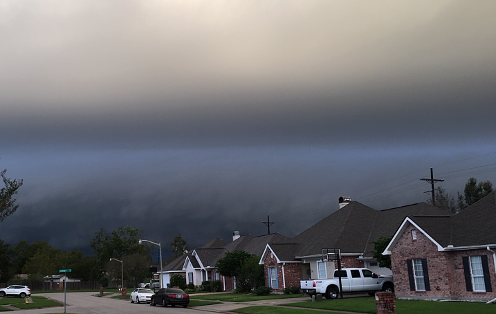
We're going to need to keep an eye to the sky this weekend as Mother Nature is set up to deliver another round of heavy rains, high winds, and possible tornadoes. A strong low-pressure system over Texas, an abundance of moisture from the Gulf of Mexico, and strong winds changing direction with altitude are set to combine to make Sunday, especially, rather bumpy across the region.
Forecasters with the Storm Prediction Center have most of South Louisiana in the "marginal risk" zone as far as severe weather is concerned. Sunday that risk is raised just a bit. Forecast models suggest that the most likely time for the heaviest of weather in Acadiana will be in the noon to six pm window Sunday afternoon.
It appears as though heavy rain and gusty winds will likely be our biggest threats from the approaching storm system, we can't rule out hail and tornadoes. Flooding could also be a threat with some of the heavier thunderstorms. Motorists might also encounter some ponding of water on the roadways, especially in construction zones.
Things should calm down considerably next week and you can expect to feel the heat of summer trying to kick South Louisiana's springtime to the curb. By next Wednesday much of the area could be looking at temperatures in the middle to upper 80-degree range.
More From News Talk 96.5 KPEL

