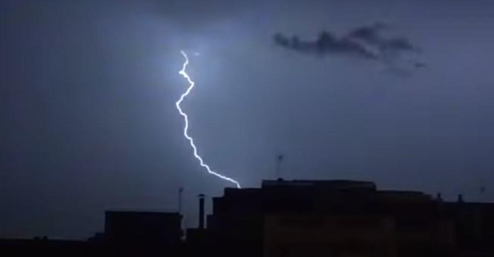
Significant Severe Weather Threat For Louisiana Through Tuesday
This past Saturday and Sunday were some of the most beautiful days we have seen in Louisiana over the past several months. The skies were bright blue, the breezes were calm and gentle, and the sunshine was plentiful. That truly was the calm before the storm. Not only was it the calm of the weekend before the start of a hectic workweek but it legitimately was the calm ahead of what could be a significant threat for severe storms and tornadoes across almost all of Louisiana.
The Storm Prediction Center's outlook for today shows the northwestern two-thirds of the state will be at risk for storms today. As you can see in the graphic above, the bulk of the strong storms will only affect the western areas of the state today. Cities like Lake Charles, Shreveport and Ruston will be under a slight risk of severe storms today.
If you fast forward the Storm Prediction Center forecast by 24 hours, you can see the outlook takes a very ominous turn for the worse across portions of central Louisiana during the day on Tuesday. As you can see from the graphic below, the SPC has bumped the storm threat to Moderate for cities like Baton Rouge, the northern suburbs of New Orleans and Bogalusa.
Meanwhile cities like Lafayette, New Iberia, Lake Charles, Abbeville, and New Orleans proper will be under an enhanced threat of severe storms. Based on the forecast models I think it's a pretty safe bet that if you're in Louisiana on Tuesday and somewhere along Interstate 10 you will experience at least a strong thunderstorm.
Here's a closer look at the Storm Prediction Center's forecast via this graphic from the National Weather Service Office in Lake Charles. As you can see the list of potential hazards range from gusty winds to hail in excess of one inch to tornadoes, flooding, and frequent lightning.
KATC's Bradley Benoit is suggesting that the Lafayette area will only see gusty breezes and warm temperatures today but conditions will go downhill rapidly as we move toward Tuesday. Here's what the GRAF Model is projecting for the area just before lunchtime on Tuesday.
As you can see the worst of the weather will still be west of us but should be moving quite rapidly to the east. This will likely mean strong storms and the potential for severe weather in the area during dismissal times from area schools, so that might have to be addressed. At the very least parents should plan on a rainy pick up from school on Tuesday.
Once the system moves out of the area conditions should improve quite rapidly and there should be a string of very nice weather across the region through the weekend. That might mean that next weekend would be a great weekend for getting out and enjoying some of Louisiana's best weather of the season.
These Louisiana State Parks Have Cabins to Rent
More From News Talk 96.5 KPEL


