Forecasters have adjust the timing on Saturday's soaking rains across Louisiana. Here's where and when to expect the wettest weather for where you live.
Louisiana is looking ahead to an Arctic blast next week but first there's a severe weather event we need to be prepared for on Thursday night. Here's the timing.
As one storm system moves out of Louisiana residents are being encouraged to be aware of the state's next severe weather threat which is forecast for later this week.
Forecasters have placed more of Louisiana at an enhanced risk of severe storms, rains, and damaging winds today. Here's when to expect the worst where you live.
Louisiana cities such as Lafayette, Lake Charles, and Baton Rouge are preparing for a strong storm system that is forecast to bring strong winds and flooding rain.
Severe weather is not rare in Louisiana but this particular kind of forecast is rarely made when identifying a potentially dangerous weather situation.
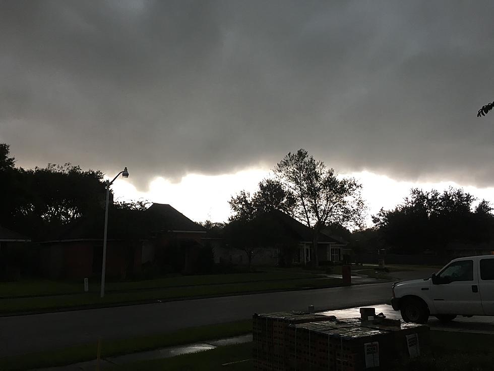
The weekend won't be a total washout across Louisiana but it will be punctuated by the threat of severe storms, damaging winds, and cold temperatures by Sunday.
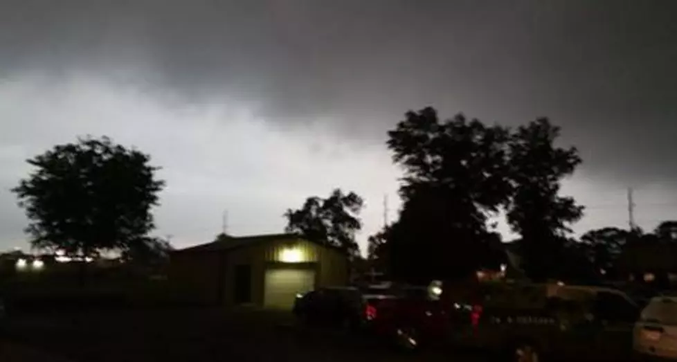
Much of Louisiana will be under a threat for severe weather beginning early Thursday. Strong storms, heavy rain, damaging winds, and tornadoes are possible.
Showers and storms are moving across Louisiana today in association with a cold front that will usher in the first fall-like temperatures of the season.
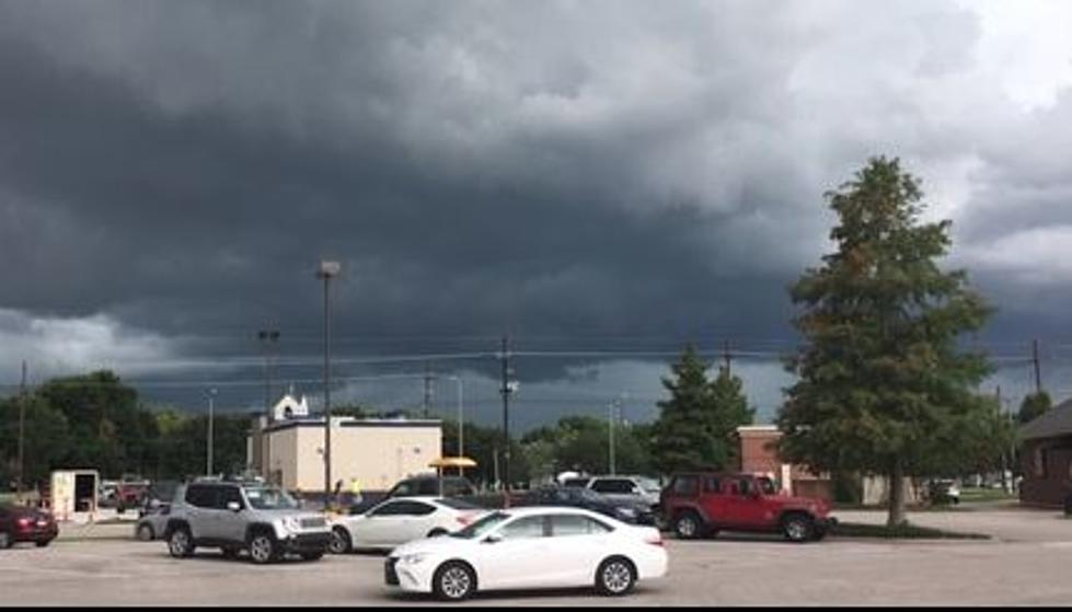
An area of strong storms with a history of severe weather is currently moving across Louisiana this morning. Here is where you can expect the worst of the weather.
A cold front will move across Louisiana today bringing with it a threat for strong to severe storms. So of those storms might effect high school football across the state later tonight.
Showers and thunderstorms are bringing sweet drops of relief to parched Louisiana landscapes this morning. However, some of those beneficial storms could turn severe later today.