Tropical Deja Vu – System Could Move Into Gulf This Week
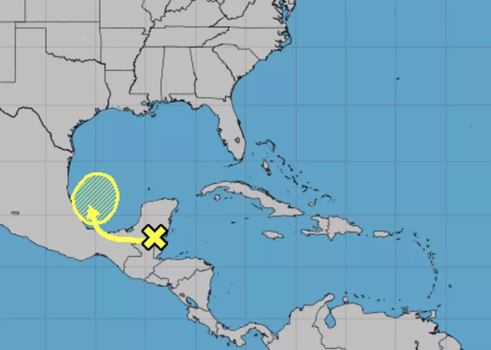
Remember last week when an area of disturbed weather slipped across the Yucatan Peninsula into the southwestern Gulf of Mexico and eventually became Tropical Storm Nestor? Well, it's deja vu all over again as a similar weather system appears to be following a similar path into the Gulf this morning.
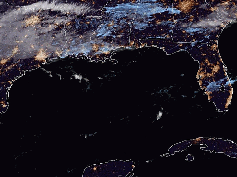
Forecasters with the National Hurricane Center say the area of concern is currently centered over the Yucatan but is expected to move out over the open and very warm waters of the Bay of Campeche by Thursday.
The forecast for the development of the system is minimal at this time. As of early this morning, the Hurricane Center suggested that area of showers and storms had a 20% probability of strengthing into a tropical cyclone. You may recall Tropical Storm Nestor had similar probabilities when it was located in the same geographic locale last week.
The difference between this system and what eventually became Nestor is a cold front. That frontal system is expected to sweep through Louisiana on Friday and as it pushes into the Gulf of Mexico forecasters believe the potential tropical trouble could be absorbed into the front.
Should that happen it would effectively eliminate the threat of tropical development, at least for the time being. However, the tropical moisture associated with the system could ride up the frontal boundary and bring some very heavy rainfall totals to some parts of the Gulf South before all is said and done.
More From News Talk 96.5 KPEL