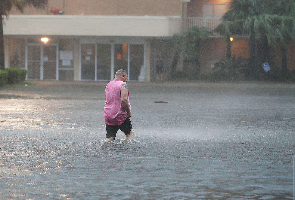
Tropical Depression Forms In The Atlantic, But Where’s It Headed?
A new tropical depression has formed in the Atlantic, and conditions seem ripe for it to develop into Tropical Storm Fiona by the weekend.
However, while its path could take it into the Gulf of Mexico, it is likely to enter there after losing a lot of its power by Monday.
It's current path takes it into the Caribbean by the end of the week. It will pick up some steam over the next few days, likely developing into Tropical Storm Fiona. However, a mix of weather conditions should prevent it from developing further, the NHC says.
The Leeward Islands are right in the system's path.
Here's the outlook for the next five days.
By Friday evening, it will make landfall in Puerto Rico, then roll through to the Dominican Republic and Haiti, though it will lose power and revert back to a Tropical Depression, the NHC forecast shows.
The remnants of the storm will enter the Gulf, where the southern coast will have to keep an eye on the storm. Currently, there is no forecast for the storm after it passes through the Leeward Islands, and no areas of concern for the Gulf for the next 48 hours.
We have reached the "peak" of the traditional hurricane season, but it has been a relatively quiet one so far, with just two named storms since July and neither of which hit the U.S. at all. In all, there have been five named storms: Alex, Bonnie, Colin, Danielle, and Earl.
The hurricane season ends officially ends November 30.
Hurricane Preparation, What Are the Items You Didn't Think Of?
The Best Fall Cooking Louisiana Has To Offer
More From News Talk 96.5 KPEL


