Tropical Forecasters Watching Northern Gulf For Development
The first month of the 2019 Atlantic Hurricane Season is in the books. It looks as if we skated by in the month of June with no major tropical issues to report. July could be different. A lot different. Especially if what some models are forecasting for the northern Gulf of Mexico next week.
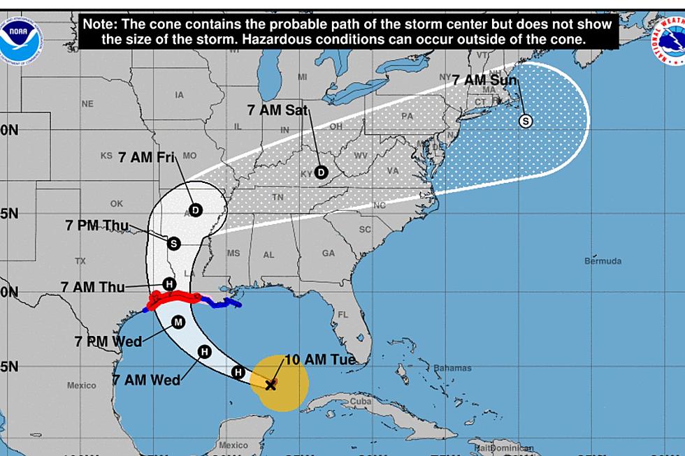
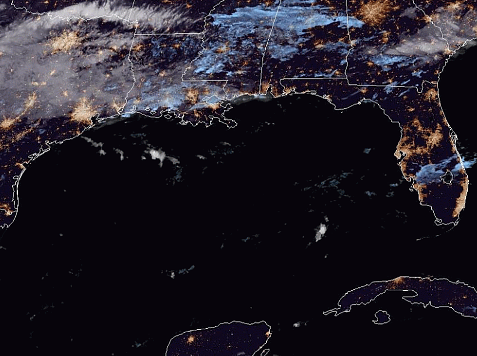
The European Model, ECMWF or European Centre for Medium-Range Weather Forecasts if you will, is suggesting that by early next week a low-pressure system could form along the central northern Gulf coast. The model solutions suggest that the low-pressure center could at the very least spin up into a tropical depression or even a tropical storm.
Should that scenario unfold the track of the system will be greatly affected by just how organized and strong it becomes. One model solution suggests the system will get stronger but stay east of Louisiana. Yet another model solution suggests the system will stay weaker and drift back toward the Louisiana/Texas coast.
In both cases the biggest threat forecasters are seeing at this time is the potential for flooding rains. We all know just how much rainfall even a tropical depression can drop on an area. Needless to say, the area from the Texas/Louisiana line to the Florida Panhandle will need to be watched for tropical development next week.
More From News Talk 96.5 KPEL


