Tropical System In The Gulf Likely By Tuesday
The National Hurricane Center is actually watching two separate weather systems in the tropical Atlantic basin.
There is a system very near the northern coast of South America that is almost at the threshold to become a tropical storm and there is the system that most of us in Louisiana are keeping an eye on.
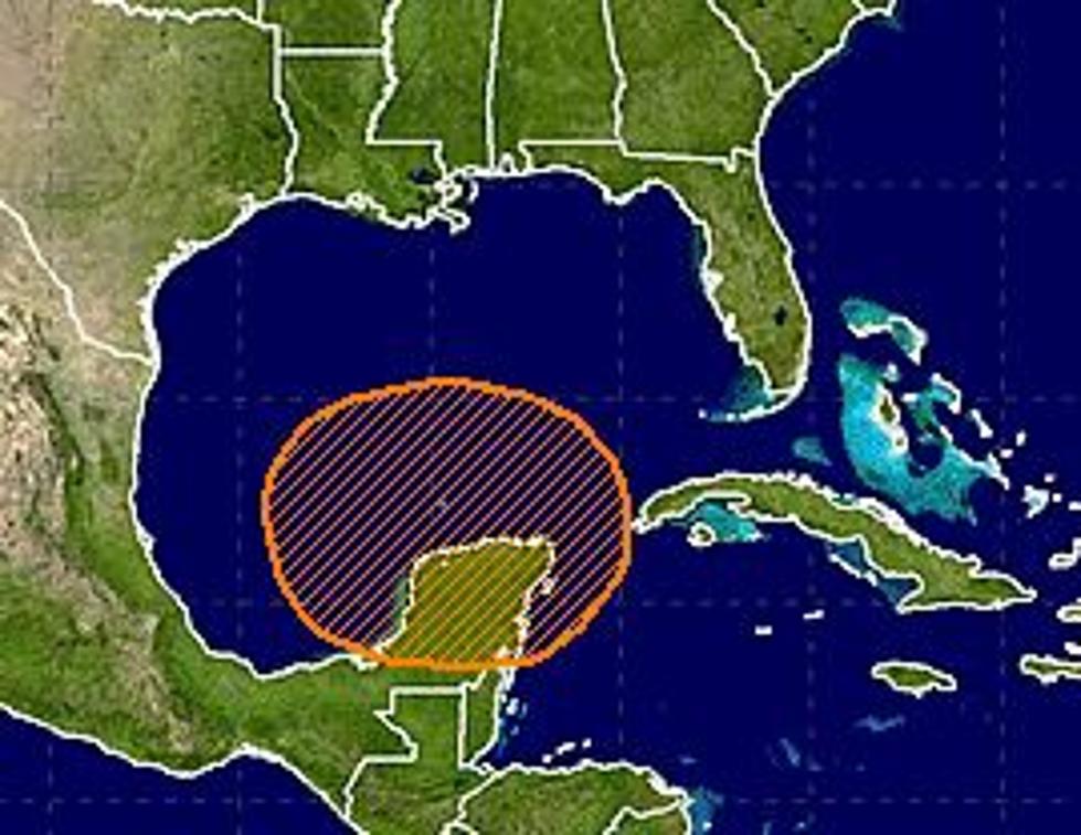
That area of disturbed weather is just off the eastern tip of the Yucatan Peninsula in Mexico. Observations from the Hurricane Center say that the system is very poorly organized but is producing gusty winds and very heavy rainfall.
The current thinking is that once this system clears the Mexican coast and gets into the south central Gulf of Mexico some strengthening is likely. The Hurricane Center puts the probability of tropical cyclone formation at 90% over the next five days.
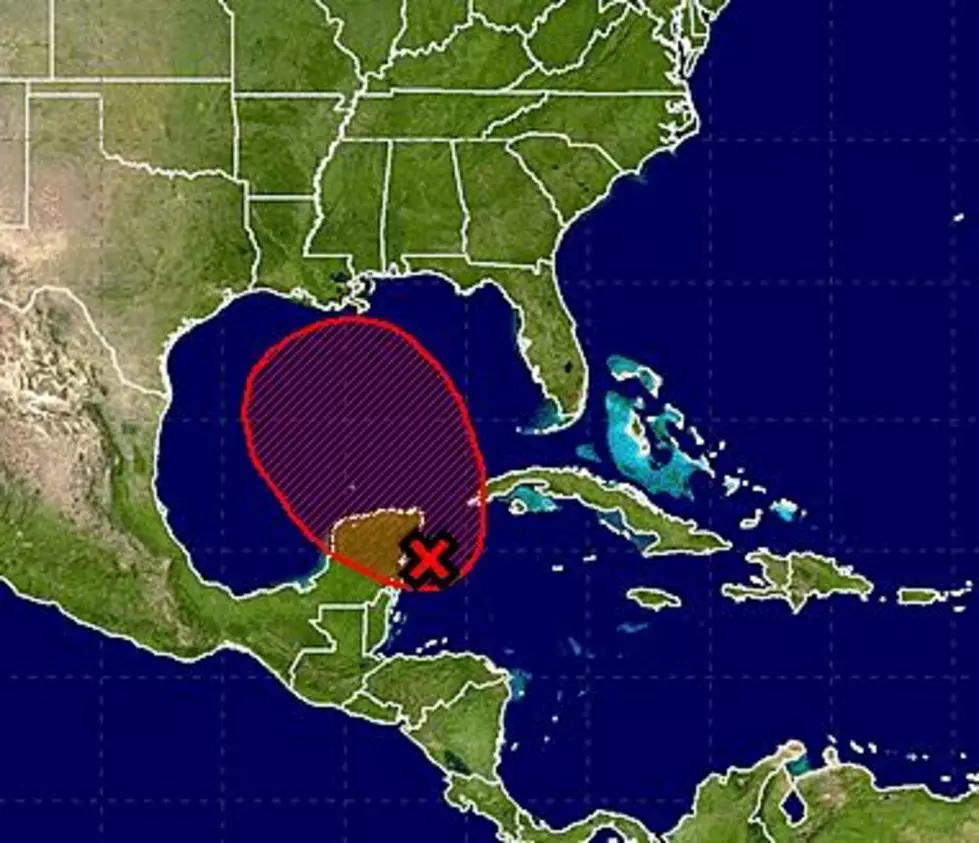
The forecast track models are very inconclusive at this time. The spread on some of the more reliable forecast models indicates an interaction with the coast from as far west as Houston Texas to as far east as Pensacola Florida.
The intensity forecast for this system seems to be more in agreement than the track forecast. Most of the forecast models suggest that this system will be slow to develop and will most likely not reach hurricane strength. Please keep in mind forecasts, especially long range forecasts, are subject to a large degree of error.
The one certainty with this particular system is that it will produce torrential rains, especially on its eastern side. So it might be less about when the system crosses the coast as much as where it crosses the coast. It does look as if the heaviest weather and the heaviest rainfall will be to the east of the center of circulation.
More From News Talk 96.5 KPEL


![Tropical Storm Warning Posted For A Portion Of Louisiana’s Coast [Updated]](http://townsquare.media/site/36/files/2017/06/Tropics-June-201.jpg?w=980&q=75)