The weekend won't be a total washout across Louisiana but it will be punctuated by the threat of severe storms, damaging winds, and cold temperatures by Sunday.
Much of Louisiana will be under a threat for severe weather beginning early Thursday. Strong storms, heavy rain, damaging winds, and tornadoes are possible.
Louisiana's long-range forecast has an updated look into January and the New Year where things could take a sharp turn toward wintery weather conditions.
Louisiana still has six more weeks of hurricane season but already thoughts are turning to colder weather and the chances of snow in the Deep South this winter.
A tropical low just south of Louisiana is expected to bring an increased threat of storms and heavy rain to coastal sections of the state later tonight.
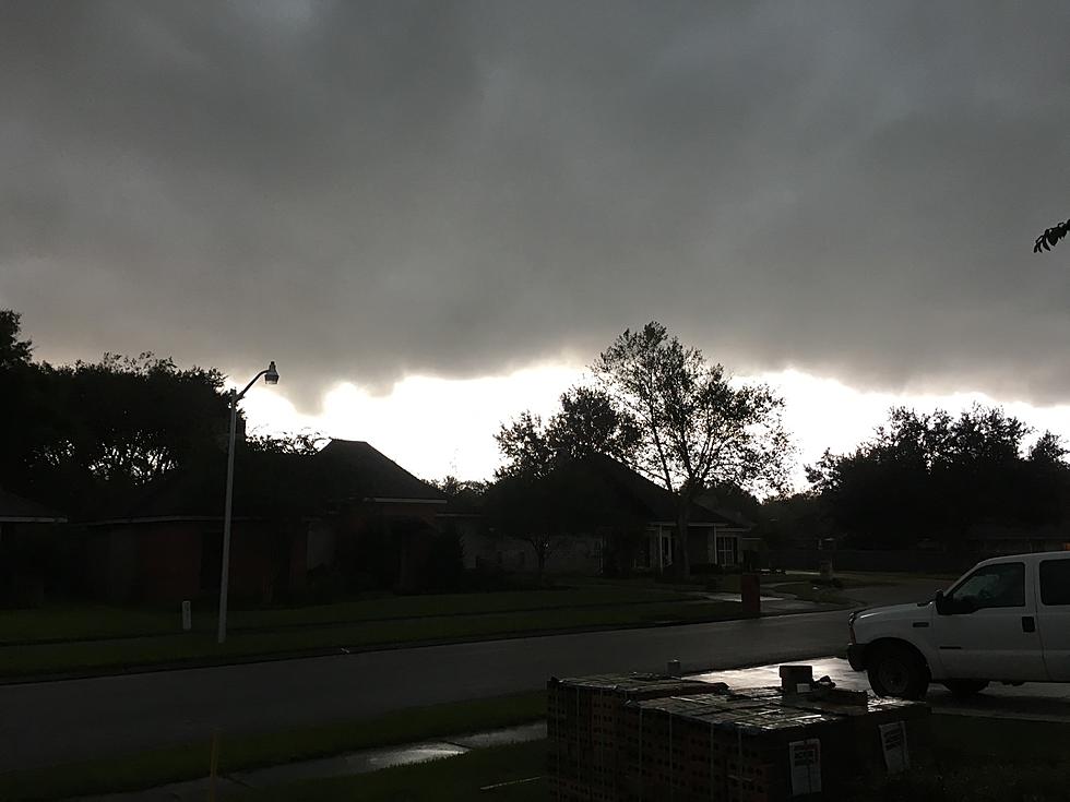
Showers and storms are moving across Louisiana today in association with a cold front that will usher in the first fall-like temperatures of the season.
An area of strong storms with a history of severe weather is currently moving across Louisiana this morning. Here is where you can expect the worst of the weather.
A cold front will move across Louisiana today bringing with it a threat for strong to severe storms. So of those storms might effect high school football across the state later tonight.
Showers and thunderstorms are bringing sweet drops of relief to parched Louisiana landscapes this morning. However, some of those beneficial storms could turn severe later today.