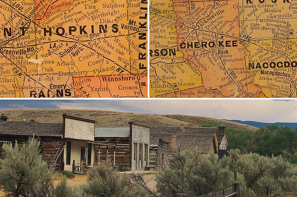
17 Ghost Towns in Louisiana
If you've ever wanted to visit a ghost town, you might not have to go as far as you think.

Merriam-Webster defines a ghost town as "a once-flourishing town wholly or nearly deserted usually as a result of the exhaustion of some natural resource"
In those terms, when you think of ghost towns, Louisiana isn't a state that comes to mind that would have an abundance of them. You probably think of the old west, or a post-apocalyptic movie. Turns out there are at least SEVENTEEN ghost towns in Louisiana!
Some of these ghost towns have a lot of information about them, how they came to be settled, how they came to be a ghost town, and more; while others have as little information as possible, like only what parish they're located in.
Also something of note is that this could be an incomplete list. Meaning, there could very well be many more ghost towns in our state.
You can click on the town name throughout the list to get more information about it.
Without further ado, here is a list of 17 ghost towns from right here in Louisiana!
Albany

Albany is a ghost town located in Caddo Parish. When referring to themselves it is believed that they said they were Albanian.
Alma

Alma was a community located in southeastern Pointe Coupee Parish. The area is currently home to Pointe Coupee Parish's only operating sugar mill. It just so happens to be one of only 11 sugar mills still operating in Louisiana.
Anchor

Anchor was another community located in southeastern Pointe Coupee Parish. It got it's name during the American Civil War. A post office was established in the community in 1888, and was closed in 1930.

Bayou Chene, which translates to Oak Bayou, was a community settled in the 1830s, and was located just east of St. Martinville. The U.S. post office was established there in 1858. The settlers there ran a church, a school, a merchandise store and the post office, which were all located along the bayou. Despite occasional flooding, Bayou Chene thrived until the Great Mississippi Flood of 1927 destroyed much of the community. The community rebuilt, but due to dredging of river channels and the construction of the Atchafalaya Spillway levees, the town received frequent flooding. After the post office and school closed in 1952 and 1953 respectively, most of the townsfolk left. Today the historical community of Bayou Chene lies under approximately 12 feet of silt.
Burrwood

Burrwood was a community located near the far south end of the delta of the Mississippi River in Plaquemines Parish. An estimated population of 1,000 once inhabited the community. Most of the territory is now fully or partially submerged by coastal erosion.
East Krotz Springs

East Krotz Springs was originally called Latania, and was located directly across from Krotz Springs, south of the railroad bridge. It was the site of lumbering operations in the early 1900's. The Atchafalaya River levee broke in 1912 and 1913, and flooded the area. It is located in the now Morganza Spillway levee system, and was completely underwater when the spillway was opened in 1973. There is no visible trace of the town left today.
Elliot City

Elliot City was also located in Pointe Coupee. The abandoned town is covered or partially covered by US 190. Like East Krotz Springs, the town was flooded when the Atchafalaya River levee broke in 1912 and 1913. It was officially abandoned in 1939 when it's residents were forced to leave during the construction of the Morganza Spillway.
False River

You may be familiar with the river, but there was an actual unincorporated community in southern Pointe Coupee Parish called False River, or Fausse Rivière. It was near present day New Roads, and the current lake of False River. A post office was established in the town in 1858, but closed three years later. During the American Civil War, the town was used to house Union soldiers. The post office was re-opened in 1887 as "St. Mary's, Louisiana." There was public debate over the town's name, causing a renaming to New Roads in 1888. Early maps and publications spell it New Rhodes.
La Balize

La Balize was the first French fort and settlement near the mouth of the Mississippi River. It was inhabited by 1699, and is possibly the oldest French settlement in current Louisiana. It was destroyed and rebuilt several times due to hurricane damage. There's quite a lot of history, and info about this ghost town. River pilots sometimes stay there temporarily for work shifts.
Laurel Valley Sugar Plantation

Laurel Valley Plantation was the site of a 2,000 acre sugar mill and plantation back in the 1910's and 20's. It had housing for the workers, and even a school/church. "Eerie" scenes from the movie Angel Heart, starring Mickey Rourke and Robert De Niro, were filmed here. The plantation went belly up in 1926. There's lots of story, history and pics of this place.
Morrisonville

Morrisonville was a small town located in Iberville Parish. It was founded by former slaves, freed from a plantation near Plaquemine, in the 1870's. The town was contaminated with industrial pollution from a nearby Dow Chemical Company vinyl chloride factory. The town's residents were relocated in 1990.
Red River Landing

Red River Landing was located in northern Pointe Coupee Parish, adjacent to the Louisiana State Penitentiary. A post office was established here in 1836. This area was once a major economic point and the transfer point for all immigration and mail until the old railroad bridge collapsed. The post office was changed to Torras (see below) in 1902.
Ruddock

Ruddock is a ghost town in St. John the Baptist Parish. Although the town was destroyed by a hurricane in 1915, as of 2011, it is still signed as an exit on I-55, and on La. state highway maps. The town has since become overgrown with vegetation, and all that is left of the town is the rotted wood from buildings.
Sherburne

Sherburne is another ghost town located in Pointe Coupee Parish. It was founded as a logging camp and sawmill town in the 1880's due to the abundance of trees. By the 1930's, as the final trees were cut down, the town was abandoned. Aerial photos from Google Maps indicate that there is a Sherburne Nature Trail, Sherburne Wildlife Management Area, and an abundance of trees that have grown back.
Taft

Taft is a ghost town located in St. Charles Parish. According to the 2000 Census, there were zero people living in the town of Taft. Virtually all of the land is now zoned as heavy industrial. It was the original site of Our Lady of the Holy Rosary Catholic Church , which was built in 1887, and moved to Hahnville in 1963. The cemetery left behind is still used as a burial ground for the church, surrounded on three sides by the Dow chemical facilities.
Torras

Torras is a ghost town that was originally Red River Landing. It was named after it's founder Joseph Torras. The town was expected to develop into an important shipping and rail center, due to its location. The great Mississippi River flood of 1912 virtually wiped out the community. It was moderately rebuilt, and withstood the great flood of 1927. In later years, the railroad relocated, and the town was abandoned. There are no standing buildings to mark where this town once thrived.
Waterloo

Yet another ghost town out of Pointe Coupee Parish, Waterloo was founded in 1820, and was a bustling export for sugar cane and cotton from the parish. The town was destroyed during the flood of 1884. What the flood didn't destroy, arsonists did, leaving nothing to tell that the town once stood there. Residents moved to nearby New Roads. It's not uncommon for current residents of subdivisions now built on the site to find remnants of the town in excavations.
Louisiana Ghost Towns
So, it looks like the majority of the ghost towns on the list are around one area in particular, showing the once bustling area that relied on now outdated infrastructure and transportation are either gone altogether, have been renamed, or taken over by other towns.
Some of the areas you can still visit and get a feeling of our state history. Others are lost to the whispers of time. Either way, it's been a lot of fun looking back at the surprisingly many ghost towns in Louisiana!
Take a look at some other area relics below.
Lafayette Stores Your Parents Shopped At That Are Gone Now
Gallery Credit: Bernadette Lee
More From News Talk 96.5 KPEL