Tropical System Might Affect Your July 4th Plans Next Week
The recent roamings of "sort of kind of" Tropical Storm Claudette should be considered a word to the wise. As much as the science of forecasting tropical weather systems has improved over the years it is not foolproof. We thought South Louisiana was going to be inundated with rainfall from Claudette but it moved east of the area and we were spared.
We tell you this so that you'll have an understanding that the information we are about to present should be used for planning purposes and not to make life or death decisions or even economic decisions about where you might be spending your July 4th holiday.

The National Hurricane Center is currently tracking a tropical wave in the middle of the Atlantic. Over the next five days, that system is only given a 30% chance of strengthening into a tropical cyclone. It's also 650 or so miles east of the Windward Islands too. That means it is a very long way away from Louisiana and the Gulf of Mexico for now.
However, the GFS or Global Forecast System Model, does raise cause for concern as we move through this weekend and into next week. Disclaimer time. model runs do not constitute an official forecast. So, we are not saying there will be a strong tropical system in the Gulf of Mexico about a week from now. What we are saying is, don't be surprised if there is.

There are some that will claim forecasters use these models to "scare" people. Nothing could be further from the truth. This is simply information based on a very educated guess. Yes, long-range forecasts do have issues with accuracy, which is why we have gone overboard with the disclaimers.
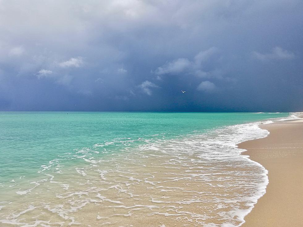
Should you change your July 4th beach plans? I wouldn't. At least not right now but as I book or before I book I would certainly double check the forecasts because evacuation is not a fun vacation.
In the meantime, South Louisiana's weather will remain a rather tropical feeling as heat and humidity combine with remnants of an old frontal boundary to kick off even more showers or thunderstorms today. Rain chances are listed at about 70% for Tuesday but will eventually drop to a more seasonable 40% for the balance of the work week beginning Wednesday.
In the meantime, just relax and enjoy the Summer. Have a Sno Ball, it will help.
Your Snowball Hit List This Summer in Acadiana
More From News Talk 96.5 KPEL