Tropical Update – What’s Next For Louisiana?
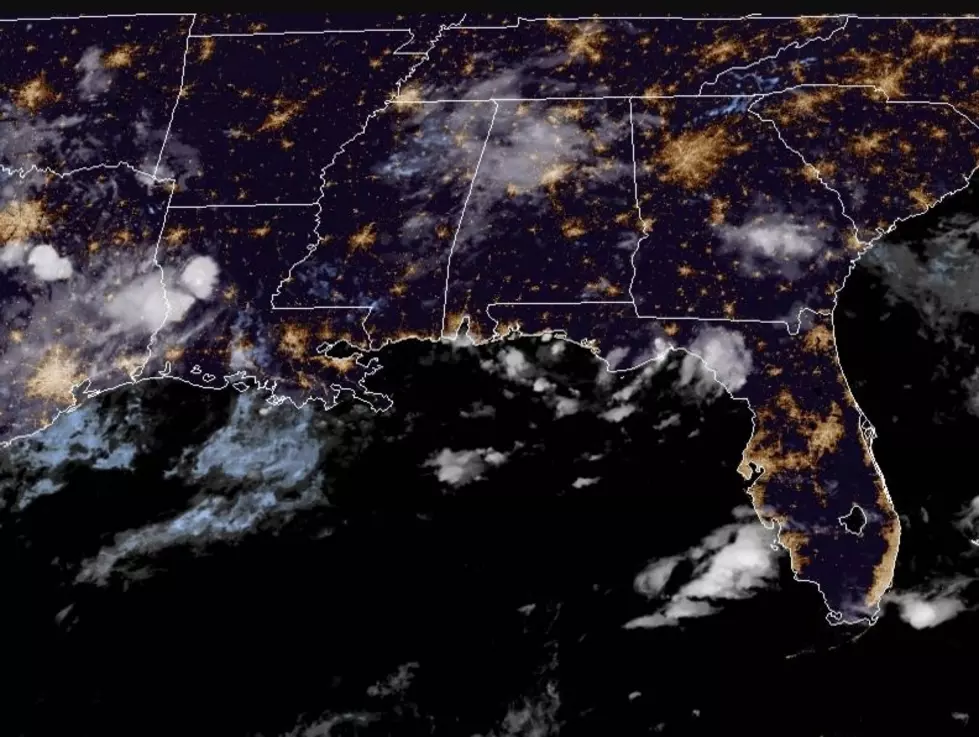
Forecasters at the National Hurricane Center are continuing to monitor an area of disturbed weather in the tropical Atlantic this morning. As of the 2 AM advisory the system, known as Invest 99L, has not been classified as a tropical cyclone.
Forecasters with the Hurricane Center do expect the system to slowly get organized over the next several days. They suggest the probability of Invest 99L becoming a tropical depression or Tropical Storm Hermine over the next five days is 80%.
There will be another reconnaissance flight by Hurricane Hunters later this morning. A flight yesterday found there were wind speeds that reached tropical storm levels of 39 MPH. What the Hurricane Hunters did not find was a closed circulation. That circulation is what allows the storm system to gain strength over the very warm tropical waters.
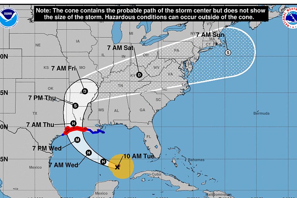
There is a great deal of uncertainty in the forecast of this particular weather system. Some tropical models bring a very strong system into the Gulf of Mexico early next week. Other just as reliable models indicate that Invest 99L will simply fizzle off the east coast of Florida.
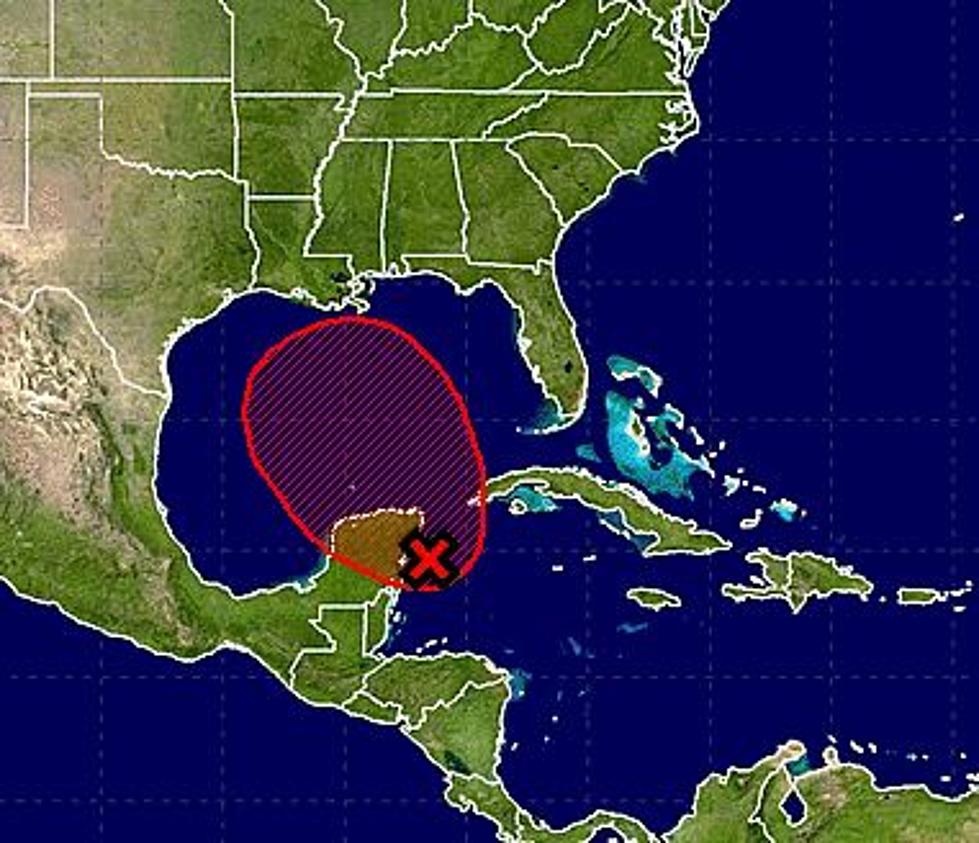
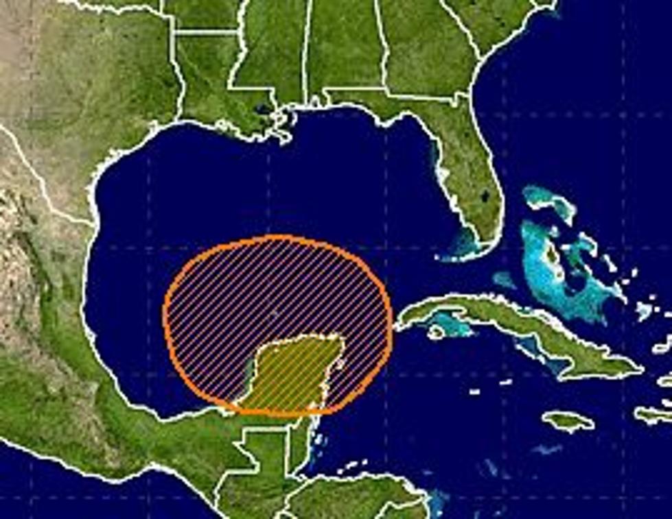
The official forecast track for this system from the National Hurricane Center suggests a likely interaction with the Bahamas and the coast of Florida at sometime within the next five days. What happens after that will remain to be seen.
Regardless, you should stay up to date on the latest information regarding this system over the next week. Even the long range models suggest that if Invest 99L was to spin up into a stronger cyclone and affect the northern Gulf Coast that interaction would not likely occur for at least another seven to ten days.
More From News Talk 96.5 KPEL

![Tropical Storm Warning Posted For A Portion Of Louisiana’s Coast [Updated]](http://townsquare.media/site/36/files/2017/06/Tropics-June-201.jpg?w=980&q=75)