Tropical Wave Moving Through Caribbean Sea
A United States Air Force Reserve Hurricane Hunter Aircraft is prepping to fly into the heart of strong tropical wave over the Caribbean Sea this morning. The mission of the Hurricane Hunters is to collect data on this fast moving weather system and help determine the prospects of it strengthening into the next named storm of the 2016 Hurricane Season.
Should the Hurricane Hunters find a closed area of circulation and maximum sustained winds of over 39 MPH the storm will be called Earl.
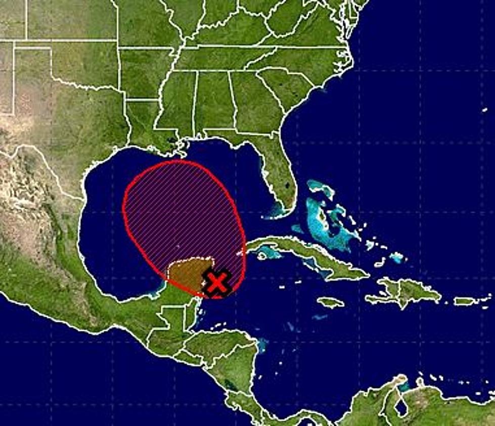
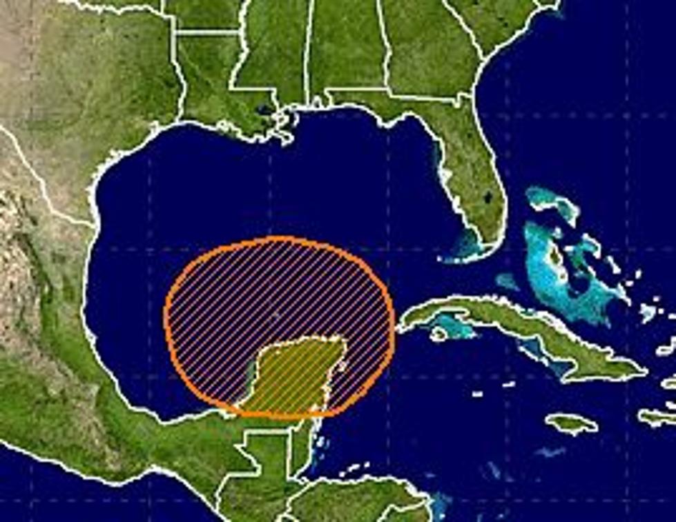
As of 2 AM the system was centered about 150 miles south-southwest of Kingston Jamaica. The movement of the system continues in a westerly direction at about 20 MPH. That is quite fast for a tropical system.
Forecasters with the National Hurricane Center in Coral Gables Florida have given this system a strong 80% probability of becoming a named storm within the next 24 hours. That probability increases to 90% over the next five days.
Tropical forecast models are in strong agreement that the system, whether or not it officially becomes a tropical storm, will continue to move swiftly to the west. It should interact with the Yucatan Peninsula of Mexico within the next day or so. The models suggest that the system will then continue moving westerly around the southern periphery of a sub-tropical ridge of high pressure centered just off the northern Gulf of Mexico coast. This should bring the system's second landfall in Mexico well south of the United States.
More From News Talk 96.5 KPEL


![Tropical Storm Warning Posted For A Portion Of Louisiana’s Coast [Updated]](http://townsquare.media/site/36/files/2017/06/Tropics-June-201.jpg?w=980&q=75)