Troublesome Tropics – Three Areas Of Concern Being Monitored
If you've made a recent trip to the beaches of Florida or Alabama you probably noticed something when you got in the water. The water wasn't that cool and refreshing. In fact it was about the temperature of a tepid bath. That kind of warm water is exactly the fuel that tropical systems need to spin up into disastrous storms.
All Summer long the tropical waters of the Atlantic have been absorbing the energy of the sun and now that it's August, Mother Nature is releasing some of that energy. There are currently three legitimate areas of disturbed weather in the tropical Atlantic that are a concern to forecasters.
Tropical Depression Fiona is the strongest of the three systems. It used to be classified as a Tropical Storm but it has now weakened to depression status. Forecasters anticipate that Fiona will become extra-tropical over the next few days and will continue to move into the North Atlantic.
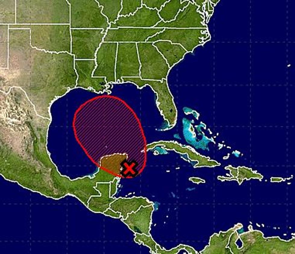
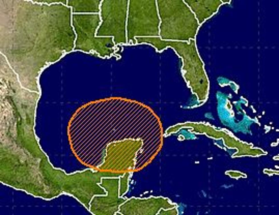
Behind Fiona are two other systems. Invest 99L and Invest 90L are currently gaining strength in the open waters of the ocean. Invest 99L is expected to slowly gather strength over the next five days. The National Hurricane Center gives this system a 40% probability of becoming a depression or named storm. The forecast track of 99L brings it very near the Florida coast before making a northerly turn and possibly affecting the Eastern Seaboard of the United States.
Invest 90L, which last week was a tropical low over the middle of the African Continent shows the greatest promise for becoming a named storm within the next few days. Forecasters have given this system a 90% probability of becoming a tropical cyclone within the next 48 hours. Should it reach tropical storm status it would earn the name Gaston.
The forecast track for 90L does not appear to bring the system anywhere close to the United States coastline in the immediate future. Still the National Hurricane Center will continue to monitor this system as well as the other two until they have dissipated.
More From News Talk 96.5 KPEL


![Tropical Storm Warning Posted For A Portion Of Louisiana’s Coast [Updated]](http://townsquare.media/site/36/files/2017/06/Tropics-June-201.jpg?w=980&q=75)
