Louisiana Gets Good News Regarding 2023 Hurricane Season
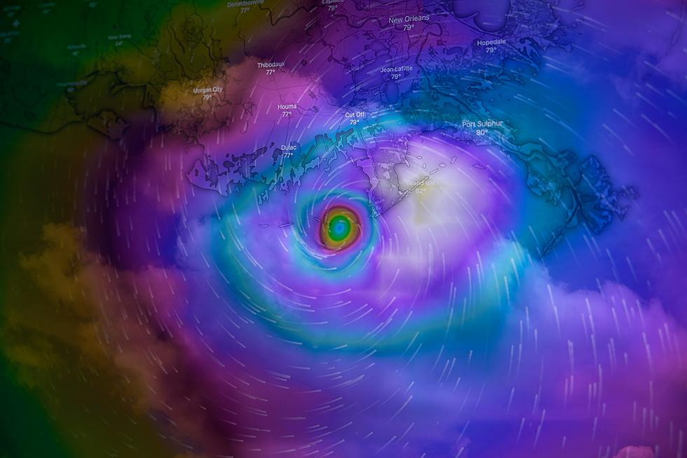
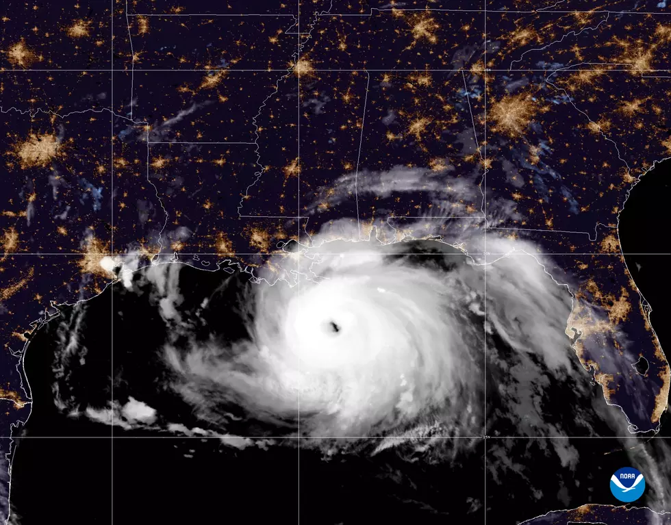
Louisiana residents are on a first-name basis with hurricanes. We've met Laura and Ida and Delta and their Greek Cousin Delta and their brother from another mother Gustav too. And don't even get us started talking about Rita and Katrina. Yeah, the past couple of decades has been quite troublesome as far as the tropics go. But, based on new information from tropical forecasters Louisiana and the Gulf South could be catching a breather this year.
Back in December of 2022, the forecast group Tropical Storm Risk made their early season predictions about the upcoming tropical season in 2023. And for the first time in quite a while the data suggested a less-than-average tropical season. TSR's forecast called for a season with 13 named storms, six of which will reach hurricane strength. Of those six hurricanes forecast to form, three of those are projected to reach major hurricane status.
Just so you'll stop shaking your head while you read this, we know it only takes one hurricane to make a hurricane season a tough hurricane season. But when you compare this information with what forecasters are seeing with weather conditions around the globe currently maybe, just maybe hurricane anxiety will be a little lower between June 1st and November 30th.

Oddly enough the catalyst for fewer hurricanes in the Gulf of Mexico and the tropical Atlantic Basin isn't even happening over those bodies of water. You've probably heard the weather terms, El Nino and La Nina. Those phenomena have to do with sea surface temperatures in the equatorial region of the Pacific Ocean and yes, both of those phenomena affect weather in Louisiana and the Gulf South.
The planet has been in a La Nina pattern for the past few years. The cooler Pacific water temperatures generally create conditions in the Atlantic Ocean and Gulf of Mexico that are more conducive for the formation and strengthening of tropical storms and hurricanes. The phenomenon tends to push the Pacific Jet Stream north of its normal position around the globe. This leads to lighter winds aloft over the tropics. That lack of shear tends to aid tropical systems in developing over the Atlantic Basin.
Forecasters are now suggesting that the La Nina pattern is slowly giving way to an El Nino pattern. El Nino usually means warmer Pacific Ocean waters. How that affects the tropical Atlantic Basin is like this. The warmer waters allow the Pacific Jet Stream to flow a little further south of its normal position around the globe. This increase in upper-level winds tends to make tropical development less likely as the tops of hurricanes are literally blown off by wind shear created.
And yes, these are very elementary explanations of both El Nino and La Nina. But for our purposes, all you need to know is La Nina = More Hurricanes and El Nino = Less Hurricanes.

The major players in hurricane forecasting, namely Accu-Weather, The Colorado State Tropical Weather and Climate Research, and NOAA will be releasing their preseason forecast in the coming weeks. They'll fine-tune their forecasts when we get close to June 1st the start of the 2023 Hurricane Season.
Just so you know, El Nino despite keeping tropical systems at bay can be troublesome for Louisiana too. The El Nino pattern usually means cooler and wetter conditions across Louisiana and by wetter, we are talking about an increase in floods across the state and the region. No, it doesn't always play out that way but since we are speculating we thought it was worth noting.
19 Straight Up Facts You Can't Argue with About Louisiana
Gallery Credit: Bruce Mikells
More From News Talk 96.5 KPEL