
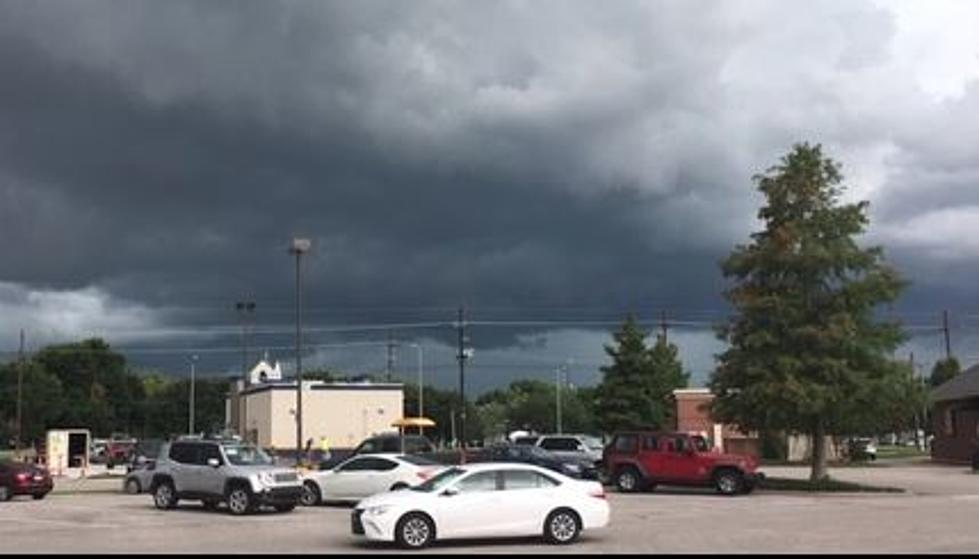
Severe Weather Possible for South Louisiana Monday
Residents of South Louisiana should be aware of the potential threat of severe weather on Monday across the region. The Storm Prediction Center has placed much of the I-10 corridor, from west to east across the bottom of The Boot at risk for strong to severe storms.

This morning many residents in South Louisiana woke up to temperatures at or below the freezing mark. In fact, a Freeze Warning was posted for much of the state along and north of US 190. The parishes south of US 190 were cold too. In fact, in Lafayette, the early morning temperature bottomed out at 35 degrees, unofficially.

Most residents of South Louisiana will enjoy a beautifully clear fall day today. The changes in the forecast won't likely start to materialize until later in the day on Monday. Forecasters say a high-pressure system which is the reason for the clear skies and cooler weather will move eastward. This will increase the onshore flow of warmer moist air across the state.
As the moist unstable air moves over Louisiana during the day on Monday an approaching low-pressure system will kick off showers and storms as it moves right along the coast during the next 24 to 36 hours. The added moisture in the atmosphere plus the instability provided by the low will be the catalyst for strong storms and heavy downpours.
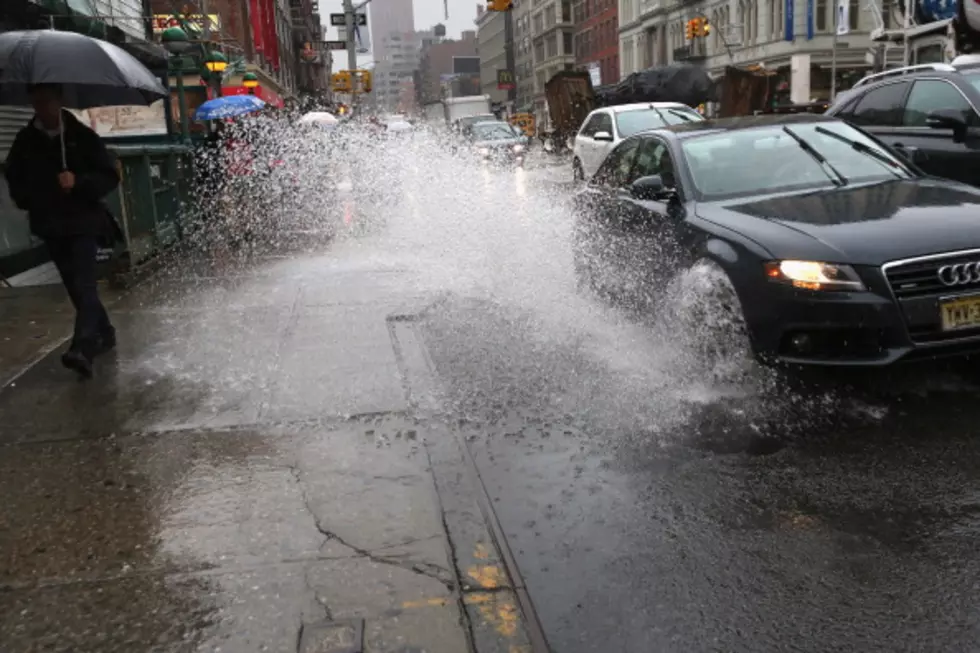
As of now, the timing on the wettest of the weather breaks down like this. Showers and storms will start to move across Louisiana from west to east by the early afternoon hours on Monday. Most of southern Louisiana will experience showers and storms from late Monday through the nighttime hours and into early Tuesday.
While the SPC does suggest there is a marginal risk of severe storms across the area during this time, this does not appear to have the makings of a major severe weather outbreak. In fact, much of the concern with the storms on Monday and Monday night will be in the area of flash flooding as some of the passing storms could dump a lot of water in a very short time over localized areas.
Temperatures across the region should remain seasonably cool but a reinforcing shot of cold air will push across the state on Thursday. This could lower temperatures below seasonal norms but should not create a freeze across the area.

Looking ahead to the busy travel week next week ahead of Thanksgiving those travelling Monday, Tuesday, or Wednesday should not encounter any weather issues affecting the state's roadways. However, the long-range outlook, which is subject to change, does suggest a significant threat of showers across South Louisiana on Thanksgiving Day, November 24th.
And speaking of Thanksgiving you know what's coming next, right? Here's a nostalgic look back at Christmas past while we plan for Christmas future.
LOOK: See what Christmas was like the year you were born
Gallery Credit: Isabel Sepulveda
More From News Talk 96.5 KPEL

