
Tropical Depression 9 Forms, Set To Be Major Gulf Storm
The storm the gulf coast has been looking at this week, Invest 98L, has officially become Tropical Depression 9, and it's headed right for the Gulf of Mexico.
In their Friday morning update, the National Hurricane Center advised that the storm was beginning to organize and that most models have it headed northeast.
Via the NHC update:
The depression is moving toward the west-northwest near 14 mph (22 km/h). A westward motion is expected to begin later today and continue through Saturday, followed by a turn toward the west-northwest and northwest on Sunday and Monday. On the forecast track, the center of the cyclone is forecast to move across the central Caribbean Sea through Saturday, pass south of Jamaica on Saturday night and Sunday, and approach the Cayman Islands on Sunday night and early Monday.
Maximum sustained winds are near 35 mph (55 km/h) with higher gusts. Some slow strengthening is forecast during the next day or so, and the depression is expected to become a tropical storm by tonight. More significant intensification is forecast on Sunday and Monday.
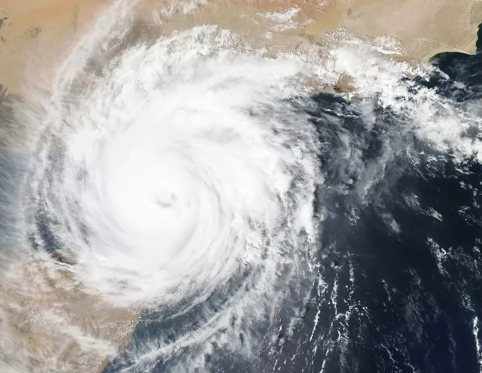
There are two tropical depressions currently. Tropical Depression 9, just off the coast of Africa, has developed quickly, and there was some speculation that it might become a named storm before TD9 does, which itself looks like it is going to become a major storm before it makes landfall in Florida.
Intense wind and rain will rock both western Cuba and southwestern Florida, according to the NHC's projections.
Most models are clustering along this projected path, though a few have it straying more toward the Florida panhandle. Most models agree that a well-timed front will push it away from Louisiana and keep the storm's most likely path right at the Sunshine State.
If TD9 becomes the next named storm, it will be Tropical Storm Hermine. It is currently the only storm that is a threat to the Gulf of Mexico, however, there is another disturbance in the Atlantic that may be headed our way.
Invest 99L currently has a projected path that should take it northward, but it's still very early to be sure.
Hurricane Preparation, What Are the Items You Didn't Think Of?
Louisiana's Most Devastating Hurricanes
More From News Talk 96.5 KPEL


