Louisiana Alert: Funnel Clouds Sighted, More Possible
It doesn't take more than a few steps outside your air conditioned home, car, or office on this Saturday afternoon to realize the air across South Louisiana is quite "thick". The combination of increasing daytime temperatures and a high relative humidity seem to make the afternoon air feel more like a suffocating blanket than a substance needed to live.
It's nothing new for residents of Lake Charles, Baton Rouge, Lafayette, Crowley, and countless other communities that are within shouting distance of the coast or Interstate 10. It is that precise area of Louisiana that the National Weather Service Forecast Office in Lake Charles is concerned about this afternoon.
As you can see by the temperature map from the NWS in Lake Charles the daytime heating will be intense. Coupled that with the humidity the feels like temperatures will be "unhealthy" for even those who are in the best of shape from Noon until well after sundown.
The combination of heat and humidity can destabilize the atmosphere and provide the "fuel" necessary for large thunderstorms to form. Again, that's not unusual for this part of Louisiana for this time of year. However, this afternoon the National Weather Service is warning of an additional concern regarding these thunderstorms.
That is the possibility of rotation and the formation of a funnel cloud or even a tornado. Here's what the Special Weather Statement said from the NWS in Lake Charles.
...TROPICAL FUNNEL CLOUD SIGHTED...
At 1130 AM CDT...The National Weather Service has received a
report of a funnel cloud in the vicinity of Sabine Pass.
A very moist and unstable tropical airmass is in place across
the area. Meanwhile...the vertical wind profile over the area
is light and variable. These conditions are favorable for the
development of tropical funnel clouds...especially where rain
cooled boundaries...known as outflow boundaries...and the
seabreeze collide.
These tropical funnel clouds are usually short-lived and do not
reach the ground. If the funnel cloud becomes more severe and
reaches the ground...minor damage may occur...and a tornado
warning will likely be issued.
To see the National Weather Service Radar live scan, click here.
Basically the statement is "don't be surprised if you see a funnel cloud". Also the message is don't be alarmed but be prepared to seek shelter just in case.
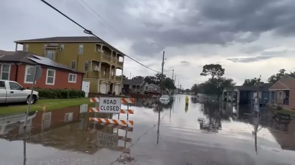
Probably more of a concern for most people this afternoon is the heat. That can be deadly. And we should mention the dangers of lightning too. If you get a strong storm there will likely be a "light show" too.
America's Top 10 Ice Cream Truck Favorites
Gallery Credit: Terryn
More From News Talk 96.5 KPEL