
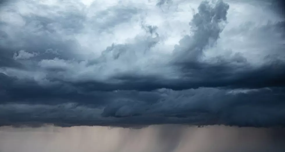
Tropical Storm Arthur Is Bringing Flash Flooding to Acadiana. Here’s What the Warning Means for Your Parish.
LAFAYETTE, La. — Tropical Storm Arthur formed Wednesday morning near the middle Texas coast, and it has southwestern Louisiana in its crosshairs. The first named storm of the 2026 Atlantic hurricane season, Arthur, is expected to move inland through the Texas-Louisiana border on Wednesday night and push heavy rain, flash flooding, coastal storm surge, and gusty winds through Acadiana into Thursday morning.
The National Hurricane Center reported maximum sustained winds of 45 mph as of its early afternoon Wednesday advisory, with the center 170 miles west-southwest of Lake Charles and tracking northeast. Little additional strengthening is expected before landfall.
NHC Director Michael Brennan made the stakes plain in a public briefing on Wednesday, saying “The main threat from Arthur is going to be a prolonged multi-day heavy rainfall event that could produce dangerous to life-threatening flash flooding. And that heavy rainfall threat is going to persist even after the center of Arthur moves farther inland and dissipates.”

What the Tropical Storm Warning Means for Coastal Acadiana
A Tropical Storm Warning is in effect from Sargent, Texas, to Morgan City, Louisiana — covering coastal Cameron, Vermilion, Iberia, and St. Mary parishes — per the National Hurricane Center and KLFY. That designation means tropical storm conditions — winds gusting above 40 mph — are expected within 12 hours. A Coastal Flood Warning covers Cameron, Vermilion, Iberia, and St. Mary parishes. The National Weather Service in Lake Charles said roads will close, and that low-lying homes, businesses, and infrastructure will be inundated.

Storm surge of 2 to 4 feet is expected along the immediate Louisiana coast, according to the NWS Lake Charles. Residents in low-lying coastal areas in those four parishes need to move valuables and vehicles to higher ground now.
The Rain Threat: Who Gets How Much, and When
The National Hurricane Center projects Arthur will produce 5 to 10 inches of rain across the northern Gulf Coast through early Friday, with isolated amounts near 20 inches. For Lafayette specifically, the National Weather Service is forecasting 6 to 8 inches, according to NOLA.com.
KATC meteorologist Daniel Phillips put a finer point on the local breakdown Wednesday morning. Most of Acadiana should pick up 1 to 4 inches, but the corridor east of the Atchafalaya is where the risk goes up sharply — those areas could see 12 inches or more, with the bulk falling late Wednesday night into early Thursday morning. Per KATC, “the further west you are, the less rainfall you’ll encounter.” East Acadiana cannot be ruled out if the storm nudges eastward.
Rain rates in the heaviest storms could reach 1.5 to 3 inches per hour. At that pace, drainage systems fill fast and water rises faster.
A Flood Watch is in effect through Thursday evening for Lafayette, Vermilion, Iberia, St. Martin, St. Mary, St. Landry, Acadia, Allen, Avoyelles, Beauregard, Evangeline, Calcasieu, Jefferson Davis, Rapides, Vernon, and Cameron parishes.
The Vermilion River Is Already Being Watched
The Vermilion River is expected to climb above flood stage and crest at 11.0 feet Thursday morning before falling back below flood stage by late Thursday morning. At 11.5 feet, the NWS Lake Charles notes that minor flooding of Beaver Park and Vermilionville near the river will occur. Anyone with property in those areas should take precautions now.
Tornadoes Are Also on the Table
Isolated tornadoes and waterspouts are possible from the upper Texas coast through southern Louisiana as outer bands push through. If a tornado warning is issued for your area, move immediately to an interior room on the lowest floor of a sturdy building, away from windows.
Sandbag Locations Open Across Acadiana

Parishes across the region have sand and sandbag sites available. All self-bagging locations require residents to bring their own shovels. A full list of confirmed sites, via KATC:
Lafayette Parish — Multiple sites operated by Lafayette Consolidated Government. Limited to 20 bags per household. Residents who need help filling and loading bags can call 311.
- North District Site: 400 Dugas Road (LCG Compost Facility off North University Avenue)
- Graham Brown Memorial Park: 1234 E. Pont Des Mouton Road
Municipal sites include Broussard City Hall (310 E. Main Street, behind dumpsters), Carencro (5115 N. University Ave., behind Community Center), and Youngsville (399 4th St., Foster Park).
Iberia Parish — Sand and sandbags at the Acadian Ballpark, 401 N. Landry Drive, New Iberia. Contact Public Works at (337) 369-2391.
St. Landry Parish — Sandbags at the Yambilee Building, 1939 W. Landry Street, Opelousas. First-come, first-served. Contact (337) 948-3688.
St. Martin Parish — Public Works Annex on Refinery Street in Breaux Bridge. Additional sites at Ruth Barn, 1035 Ruth Bridge Highway, and Paul Angelle Park, 2458 Cecilia Senior High School Road.
Jeanerette (Iberia Parish) — Sandbags at the Jeanerette Fire Station on Bourgeois Street.
For updated road closures and sandbag site availability in Lafayette Parish, use the LCG interactive site map.
What to Do Before the Rain Arrives
- Do not drive through flooded roads. Turn around, don’t drown.
- Place sandbags now if your property is flood-prone. Do not wait for rain to start.
- Pack a go-bag in case conditions require a quick exit.
- Charge phones and backup batteries. Power outages are possible.
- Monitor the SLEMCO, CLECO, and Entergy outage maps if the lights go out.
- Sign up for parish emergency alerts through the Louisiana Governor’s Office of Homeland Security and Emergency Preparedness.
Arthur is forecast to weaken once it moves inland, with conditions improving Thursday and a more typical summer pattern returning by the weekend.
You May Also Like...
- How Southern Louisiana Is Preparing for Possible Tropical Storm
- Louisiana Is in the Bullseye Again. Here's What Every 2026 Hurricane Forecast Says About the Gulf Coast.
- Avoid These Lafayette Locations That Are Prone to Flooding
- What NOAA's 2026 Hurricane Forecast Actually Means if You Live in South Louisiana
20 Items You Need to Have in Your ‘Hurricane Box’
Gallery Credit: TSM Lafayette
More From News Talk 96.5 KPEL