Storm Threat Could Put a Damper on Weekend Plans Across Louisiana
There is a common feeling among we human beings about change. We don't like it. Maybe that's why Louisiana weather always has us in a state of flux. This past week, right smack dab in the middle of December has produced afternoon temperatures that feel more like early May. But don't worry, that's about to change.
The change is currently approaching Louisiana in the form of a strong cold front. This front, which brought severe weather including the very first ever recorded December tornado in Minnesota, is currently bisecting the country from the Great Lakes southward into west Texas.

Out ahead of the cold front is the very warm air mass we've been experiencing throughout most of this week. Behind the front, "December" is poised to make a triumphant return with cold northerly winds and much cooler temperatures.
The energy connected with this storm system has prompted the Storm Prediction Center to issue a severe storm forecast that does include portions of Louisiana on Saturday. As of now, the SPC has a small sliver of southwestern Louisiana in the "Marginal Risk" of severe storms for most of the day on Saturday.

Elsewhere across the state heavy storms are possible too but the greatest threat of stronger storms appears to be confined to the Lake Charles area northward along the Texas line to Shreveport/Bossier City.
For much of South Louisiana and Acadiana, the effects of the frontal system won't really be felt until later into the afternoon and evening hours. This means the greatest threat for rain and storms will likely come after lunchtime and closer to sundown on Saturday evening.

This could mean some adjustments or postponements to many weekend events planned for late in the day Saturday or Saturday night. As of now, there have been no official cancellations or postponements but don't be surprised if your plans are changed because of the weather.
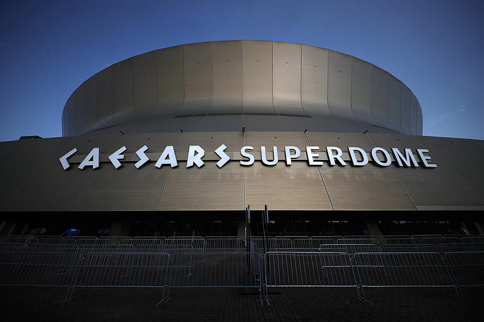
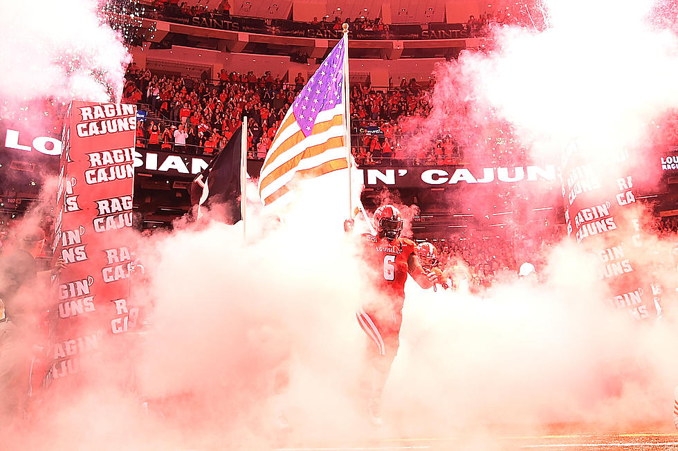
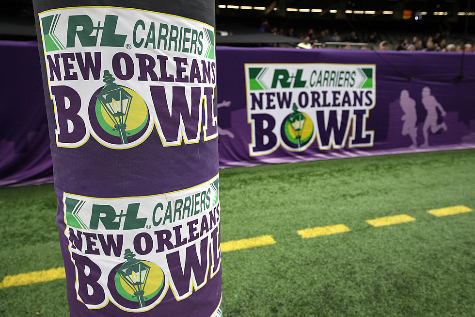
Fans who will be heading to New Orleans to follow Louisiana's Ragin' Cajuns in the New Orleans Bowl will be glad the game is being played inside. Because, if the forecast timing holds, the worst of the weather will sweep through the New Orleans metro right about the time the game kicks off shortly after 8 pm.
It is our advice to Cajun fans to bring a jacket with you into the Caeser's Superdome. Even though it will be warm and muggy before the game, conditions will be changing quickly by the time the Cajuns have secured the victory over Marshall later that evening. In fact, forecasters are saying the temperature before kickoff in New Orleans will be near 80 before the game but will be falling through the 50s as you and your crew head out to take on Bourbon Street.

When you wake up Sunday morning anywhere in South Louisiana you can expect temperatures to be anywhere from 30 to 40 degrees cooler than they were on Saturday afternoon. So, don't be a big shot, take a jacket.
Sunday will be cloudy and cool but there will be another rain threat returning to the area on Monday. Once that threat clears the area, the outlook for the days leading up to Christmas Day on Saturday will offer sunny skies seasonable temperatures.
Unique Locations in Lafayette
We are celebrating all the things that make Lafayette, LA unique and the local businesses that have that unique, something special about them.
Gallery Credit: Dave Landry
More From News Talk 96.5 KPEL