Historical Marker Coming to Site of Henry High School in Vermilion Parish
A historical marker will be installed in Vermilion Parish in front of the site where Henry High School once stood.
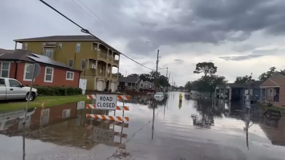
The school was the first accredited school in Vermilion Parish, having been built in 1896. The school was heavily damaged by Hurricane Rita in 2005, ultimately leading to its demolition. From the Vermilion Parish Tourist Commission:
The Second Ward of Vermilion Parish, called Prairie Greig (located in the southeastern corner), was first settled by George Greig in the late 1700's. Brothers Peter and Mark Lee of Virginia made land claims along the Vermilion River in 1796. The hamlet of Henry was named after the Henry School that stood here until damage from flooding due to Hurricane Rita in 2005 forced its closure and demolition. In 1996, Henry High School the first one in Vermilion Parish, celebrated its centennial. The school was named for its benefactor, William Henry, who originally immigrated from Copenhagen, Denmark as Ludwig Wilhelm Kattentit (b. 1818) in 1840. He married Elizabeth Lee, the daughter of Mark Lee, then dropped the surname of Kattentit and used his father's middle name 'Heinrich' for his surname of Henry. In 1895, a Catholic church was establised in nearby Bancker and in 1939 the church was moved to Henry and renamed St. John the Evangelist. - Vermilion.org
The marker was funded by donors who were born and/or raised in or near Henry. An unveiling ceremony will be held on Sunday, December 29, at 3:30 PM, and a reception will be held immediately following the ceremony. The marker will be installed near the corner of LA Hwy 300 and LA Hwy 689.
(Mr. Roland Broussard, on "duty"!)
The high school classes were discontinued when Vermilion Parish consolidated its school districts in the early 1990s. The school continued from that time as an elementary school, until 2005.
All that remains of the school is the agriculture building, the gymnasium (which was opened around 1970), and the circular drive. The actual school grounds are now used as a parking area for events in the gymnasium and overflow parking for St. John's Catholic Church.
This Google Maps satellite image shows the remaining structures at the former site of Henry High School located south of Abbeville, just southwest of Erath: the gymnasium and the adjoining agriculture building. The gravel area to the north of the gymnasium is where the school stood:
Henry High School has reunions every two years, and anyone who lived, worked, or went to school in Henry is invited to attend. Keep an eye on the Henry High School Facebook page for updates on the reunions.
More From News Talk 96.5 KPEL


