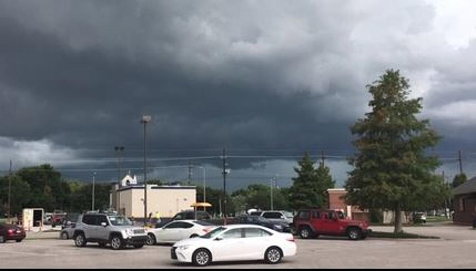
Once again Louisiana is met with a severe weather threat during the middle of the week. Here is where forecasters are expecting the worst of the weather to occur.
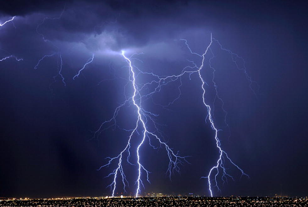
Another round of strong to severe storms is poised to move through Louisiana on Wednesday. Forecasters say many parts of the state that were hit with strong storms last week could experience them again.
There is an enhanced threat of severe storms forecast for much South Louisiana over the next 24 to 36 hours. Here's where the strongest storms are expected to form.
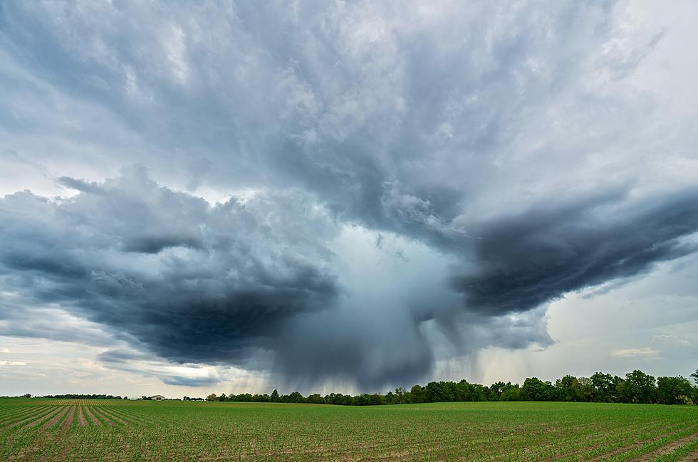
Showers and strong to severe storms are in the forecast for almost all of Louisiana today. Here is when you can expect the worst of the weather for where you live.
A Wind Advisory has been posted ahead of what could be a very stormy day in Louisiana. Most of the state is expecting strong to severe storms during the day on Thursday.
A strong cold front will push showers and thunderstorms across South Louisiana this morning. Those storms will usher in some very cold air by this afternoon.
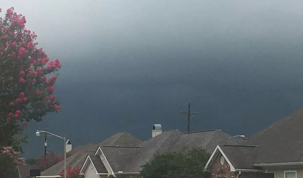
Storm clouds will be billowing into Louisiana during the day on Wednesday ahead of a strong cold front that will bring much colder weather to the state by the weekend.
Louisiana's weather outlook calls for strong storms and springlike temperatures for a day or so. Then winter will return in time for holiday plans over the weekend.
The threat level for strong storms has been increased for Lafayette, Lake Charles and Baton Rouge today. Here's when the worst of the weather is most likely to move through.